How Orthomosaic Aerial Maps Protect Your RV Park Acquisition
Before closing on a multi-million dollar RV park or mobile home community, smart investors are using orthomosaic aerial maps to verify lot counts, assess infrastructure, and identify environmental concerns.
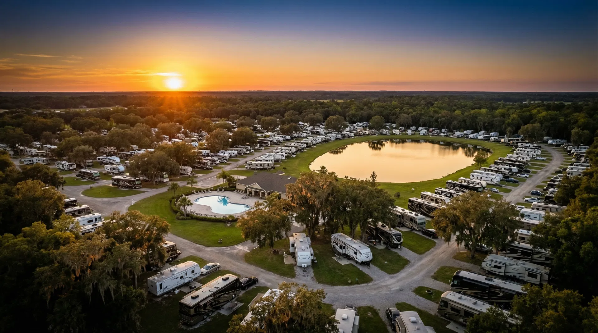
When you're considering a multi-million dollar RV park or mobile home community acquisition, traditional due diligence — title searches, environmental reports, financial audits — is necessary but not sufficient. Sophisticated investors are increasingly turning to orthomosaic aerial mapping to get a complete, accurate picture of what they're buying.
What Is an Orthomosaic Map?
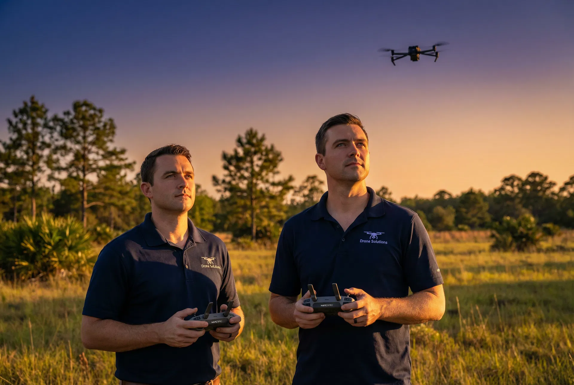
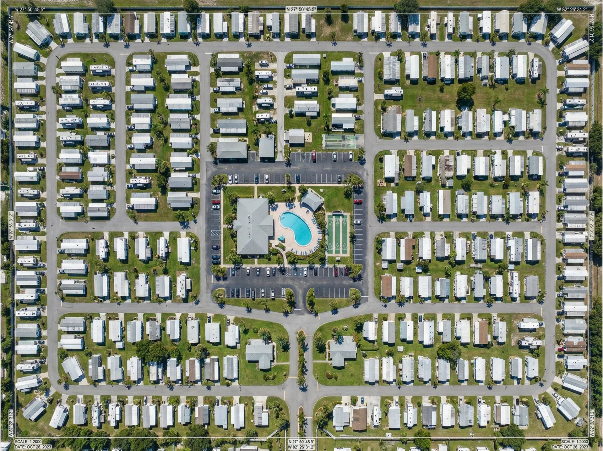
An orthomosaic map is a high-resolution aerial image created by stitching together hundreds of individual drone photos into a single, geometrically corrected image. Unlike a regular aerial photo, an orthomosaic map is scale-accurate — meaning you can measure distances, areas, and lot counts directly from the image with GPS-level precision.
Why Orthomosaic Maps Matter for RV Park Acquisitions
Traditional property surveys are expensive, time-consuming, and often incomplete. An orthomosaic map can be produced in 1–2 days and provides a comprehensive visual record of the entire property that a traditional survey cannot match.
- Verify lot counts against seller representations
- Identify unpermitted structures or encroachments
- Assess road and infrastructure condition
- Document boundary lines and setbacks
- Identify potential environmental concerns (wetlands, drainage issues)
- Create a baseline record for future comparison
A Real-World Example
In a recent acquisition in Columbia County, our orthomosaic mapping revealed that a 120-lot mobile home community actually had only 108 habitable lots — 12 lots were either unpermitted, structurally compromised, or encroaching on a drainage easement. This discrepancy, discovered before closing, allowed the buyer to renegotiate the purchase price and save approximately $180,000.
For any RV park or mobile home community acquisition over $500,000, orthomosaic aerial mapping is not an optional luxury — it's a fundamental due diligence tool. The cost of a comprehensive aerial mapping package is typically less than 0.1% of the acquisition price, but can protect you from discoveries that could cost 10x more.