THE AERIAL
INTELLIGENCE
BLOG.
Expert insights on drone photography, aerial marketing, and property intelligence — exclusively for RV park and mobile home community operators in North Florida.
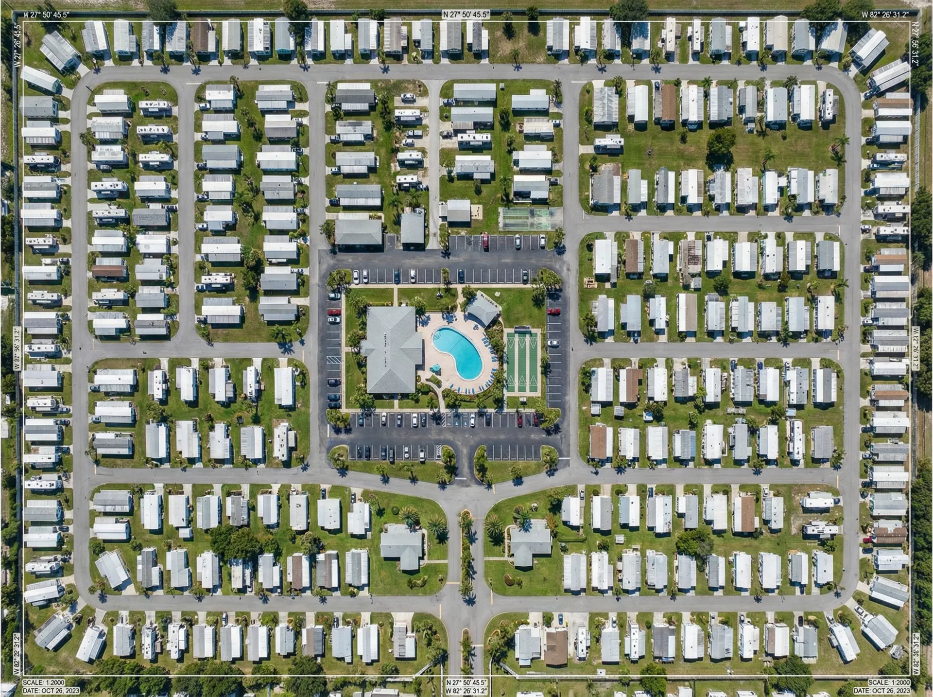
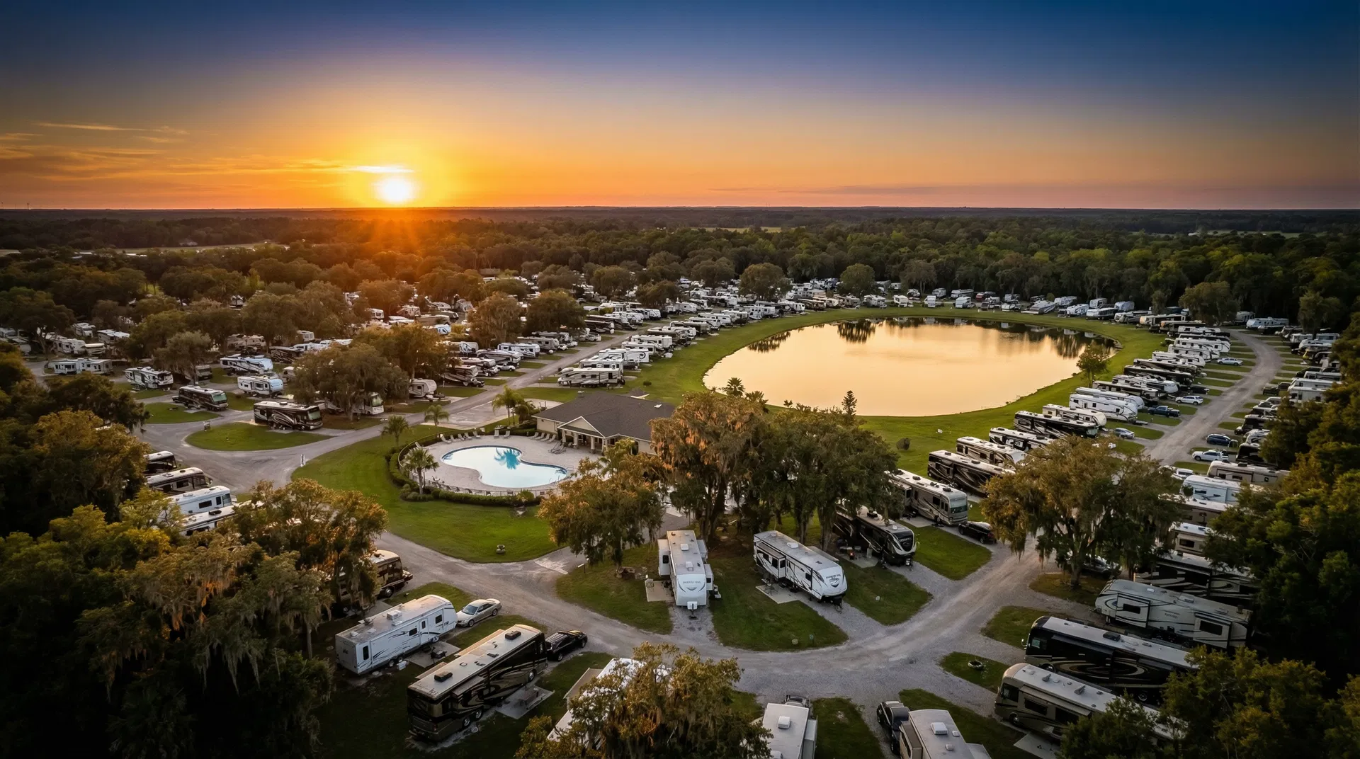
How Orthomosaic Aerial Maps Protect Your RV Park Acquisition
Before closing on a multi-million dollar RV park or mobile home community, smart investors are using orthomosaic aerial maps to verify lot counts, assess infrastructure, and identify environmental concerns.
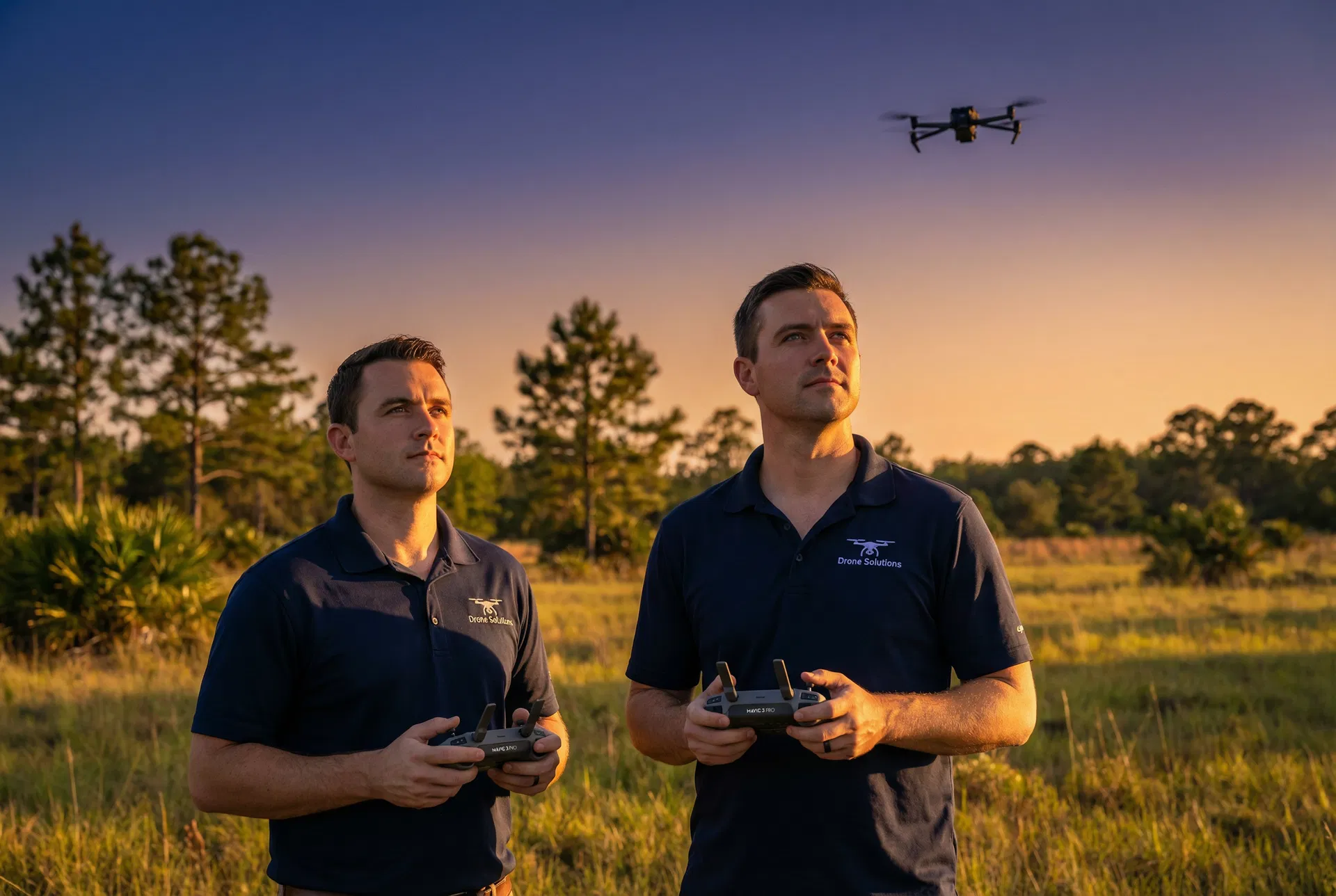
FAA Part 107: What RV Park Owners Need to Know Before Hiring a Drone Pilot
Not all drone operators are created equal. Here's what the FAA Part 107 certification means, why it matters for your liability, and the questions you should ask before hiring any drone company.
The Best Time of Year for Drone Photography in North Florida
North Florida's climate creates unique opportunities and challenges for aerial photography. From golden hour lighting to hurricane season restrictions, here's our guide to timing your shoot perfectly.
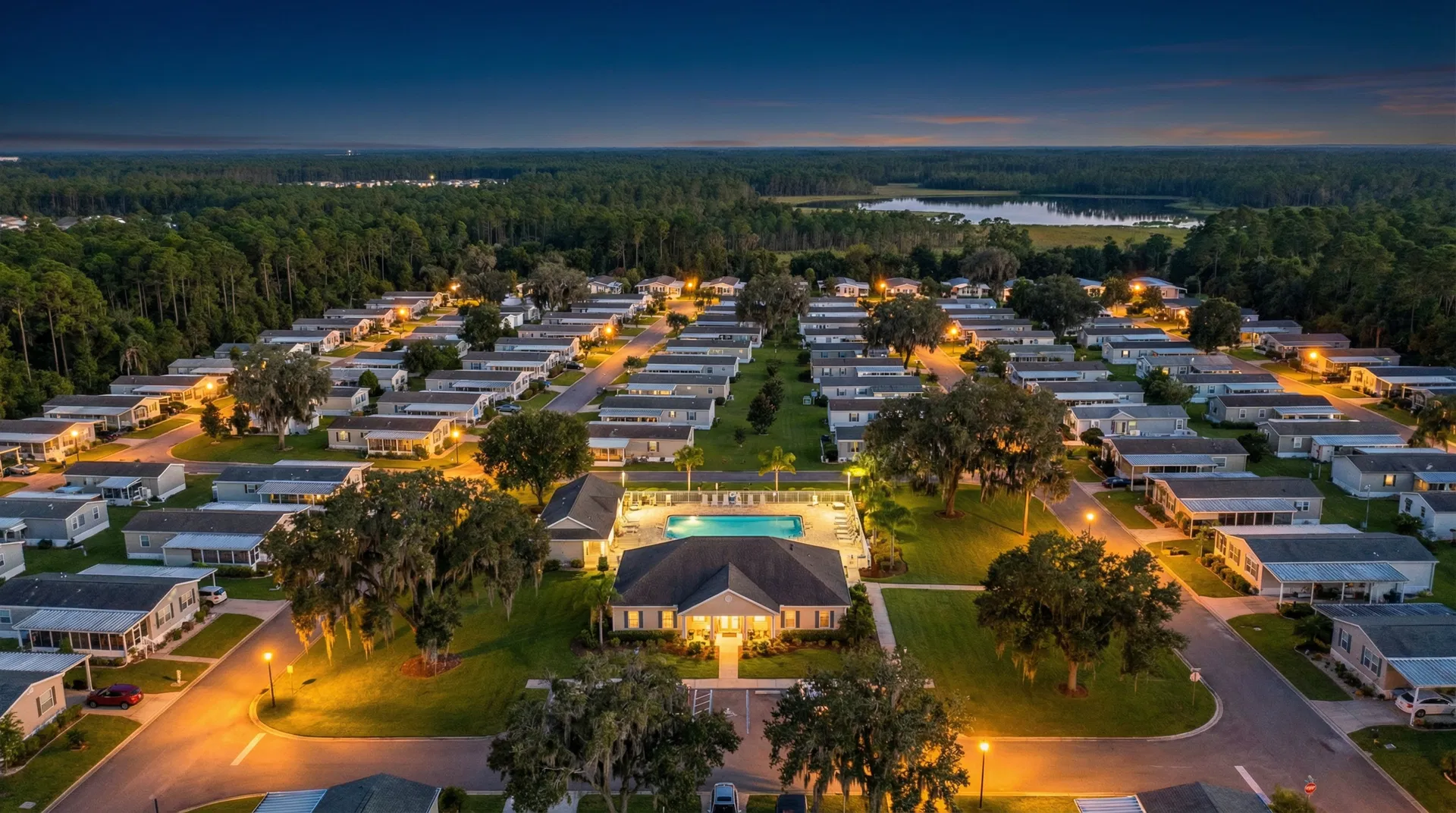
How Mobile Home Communities Are Using Aerial Video to Attract Residents
The manufactured housing market is competitive. Discover how North Florida MHC operators are using drone video to differentiate their communities and reduce vacancy rates.
Using Drone Photography for Insurance Documentation at Your RV Park
After Hurricane Ian, many Florida RV park owners discovered their insurance documentation was inadequate. Here's how aerial photography creates an airtight record that protects your investment.